

LIVE UPDATES: Tracking severe storms in Central Oklahoma
News 9 is tracking severe storms in the central Oklahoma. Watch this space for live updates as we learn more about where the storms are headed next.Sunday, May 18th 2025, 8:48 pm


News 9 is tracking severe storms in the several parts of the state. Watch this space for live updates as we learn more about where the storms are headed next.
Oklahomans should prepare for two consecutive days of potential severe weather, including the risk of large hail, strong winds, and isolated tornadoes. Each system brings its own uncertainties, but conditions are favorable for intense storms. Staying weather-aware and monitoring alerts will be key through Monday.
Our team of trackers will be out this weekend. David Payne and the team will bring you updates on-air and online.
Read the latest forecast: Oklahoma City severe storm timeline. When to expect hail, wind, and possible tornadoes
TRACKING SEVERE STORMS
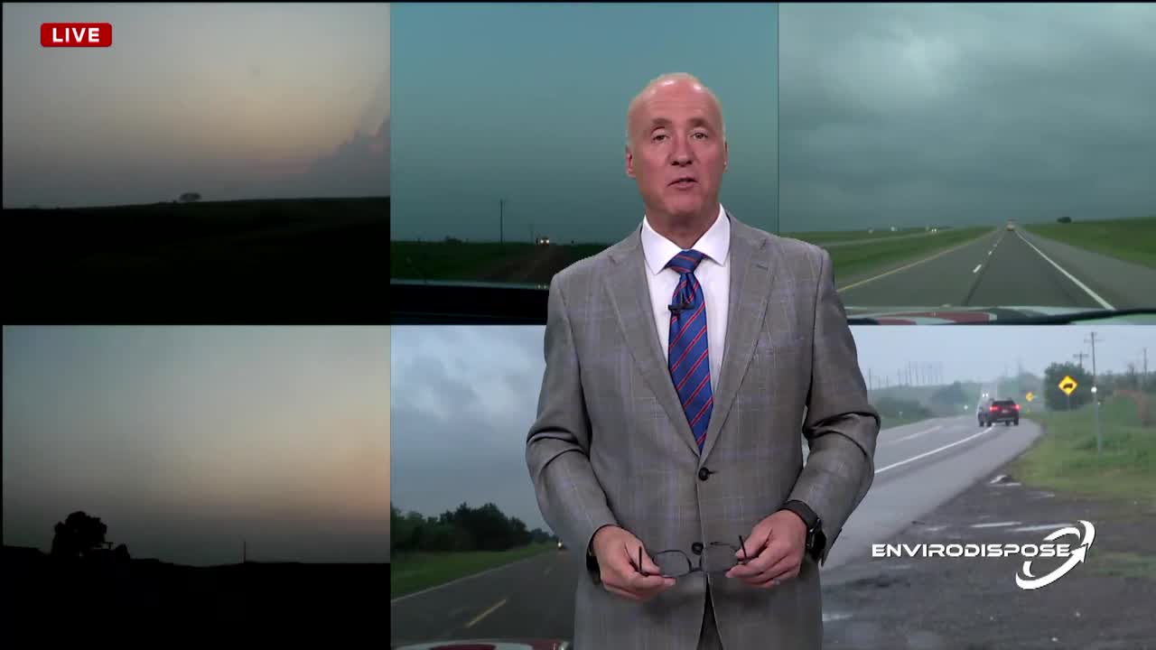
Sunday Afternoon Coverage
-
Arnett Update:
Ellis County Sheriff's Office is reporting minimal damage. A few houses were damaged not destroyed. Mostly outbuildings were heavily damaged. No reports of injuries. No word on livestock hurt at this point. Authorities said the oil fields took the brunt of it heavily damaging compression stations and buildings at those sites, oil field workers are there now assessing damage.
Watch Latest Live Stream:

7:55 p.m.
6:20 p.m.
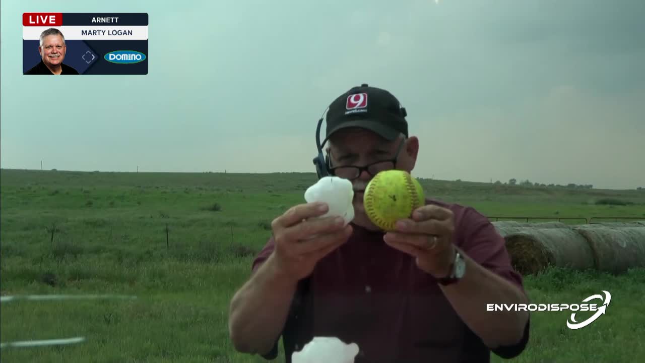
News 9 Storm Tracker Marty Logan spotted softball-sized hail in Arnett.
Watch the video below to see the size of the hail stones Marty found.
5:45 p.m.
News 9 Storm Trackers Val and Amy Castor spotted a multiple tornadoes near Arnett, Oklahoma Sunday evening.
EF-2 tornado in Ellis County, Oklahoma caught on camera. WATCH exclusive News 9 video
Tornado near Arnett, Oklahoma: WATCH video from Val & Amy Castor
4:31 p.m.
Latest warnings:
3:36 p.m.: Tornado Watch for Roger Mills, Stephens, Tillman, Washita, Woods and Woodward County until 10:00pm.
3:37 p.m.: Tornado Watch for Alfalfa, Beaver, Beckham, Blaine, Caddo, Canadian, Cleveland, Comanche, Custer, Dewey, Ellis, Garfield, Grady, Greer, Harmon, Harper, Jackson, Jefferson, Kingfisher, Logan, McClain, Major and Oklahoma County until 10:00pm.
Watch Saturday's Coverage:
Saturday Overnight Coverage
1:10 a.m.
6:00 p.m.
Severe storms headed for Oklahoma City form in Western Oklahoma, WATCH Val & Amy's footage
Watch the video below for storms forming in Clinton, captured by News 9 Storm Trackers Val and Amy Castor.
You can also stay informed about the latest warnings by following News 9 on X.
5:30 p.m.
WATCH Tornado in Garvin County near Pauls Valley Saturday evening
Pauls Valley, Oklahoma tornado captured on camera by News 9 viewer
Emergency Info: Outages Across Oklahoma:
Northeast Oklahoma has various power companies and electric cooperatives, many of which have overlapping areas of coverage. Below is a link to various outage maps.
- PSO Outage Map
- OG&E Outage Map
- VVEC Outage Map
- Indian Electric Cooperative (IEC) Outage Map
- Oklahoma Association of Electric Cooperatives Outage Map — (Note Several Smaller Co-ops Included)
STORM SAFETY:
🔗Severe weather safety: what to do before, during, and after a storm
🔗Tornado Watch vs. Tornado Warning: what they mean and what to do
🔗Severe weather safety: what you need to know to prepare
---
Download the News 9 Weather App
WATCH LIVE: Lucky Star Casino Skycam Network
Follow our meteorologists!

Get The Daily Update!
Be among the first to get breaking news, weather, and general news updates from News 9 delivered right to your inbox!
More Like This

May 18th, 2025

June 3rd, 2025


Top Headlines
June 3rd, 2025


June 3rd, 2025

June 3rd, 2025