Severe Storms To Ramp Up Wednesday With Threat Of Hail, Damaging Wind, Tornadoes
Severe Storms To Ramp Up Wednesday With Threat Of Hail, Damaging Wind, TornadoesWednesday, May 13th 2020, 6:21 am


OKLAHOMA CITY -
Wednesday will start with showers, storms, and fog across Oklahoma.
A warm front is lifting in, this will bring in warm and windy conditions for the afternoon.
As we heat up, we will become very unstable in western Oklahoma.

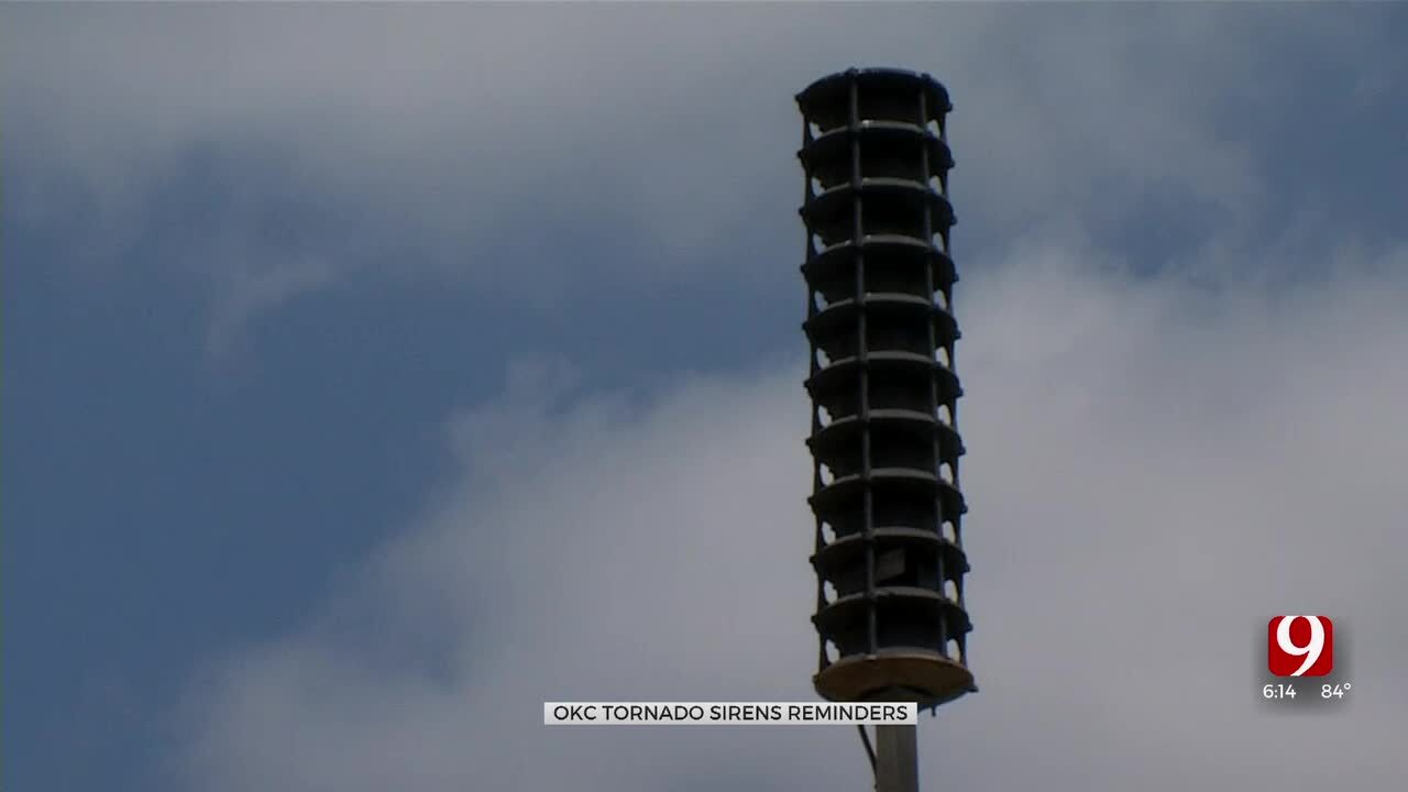
Isolated supercells will develop ahead of the dryline in the Texas panhandle. These storms will be capable of large hail, damaging winds, and a few tornadoes.


The storms will likely form more of a line as they move east. This will ramp up the wind threat, but will cause the tornado threat to come down.
Storms look to form out west between 5 p.m. and 7 p.m. The storms will be in the Metro between 7 p.m. and 10 p.m.

Overnight looks quiet with lows in the 60s.
Thursday the severe threat goes back up ahead of a cold front and dryline.
On Friday, severe storms look likely as well. Three days to be weather aware.
Stay with News 9, we'll keep you advised.

Get The Daily Update!
Be among the first to get breaking news, weather, and general news updates from News 9 delivered right to your inbox!
More Like This

April 26th, 2024

March 25th, 2024