Okla. To See Severe Weather Threat Monday Afternoon Into Evening
Okla. To See Severe Weather Threat Monday Afternoon Into EveningMonday, May 4th 2020, 6:29 am


Monday will be the hottest day of the year for the Oklahoma City Metro, and will also be a day to be weather aware.
Severe weather is looking likely for parts of the state into the afternoon and evening.

The state will quickly warm into the 90s and even low 100s Monday. The air will be very muggy as dewpoints soar into the 70s.

As a powerful cold front arrives, it will be a trigger for storms to develop. All that Gulf moisture will be fuel for powerful storms later Monday. The front will fire along Interstate 44 and storms will race to the southeast.
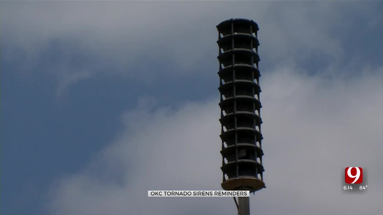
Monday the broken line of storms will be capable of large hail up to the size of baseballs. Damaging winds up to 75 mph will be possible. The tornado threat will be low, but not zero.


Behind the front, the severe weather threat quickly goes away.
Monday night we will drop into the 40s and 50s making for a much cooler day Tuesday.

Get The Daily Update!
Be among the first to get breaking news, weather, and general news updates from News 9 delivered right to your inbox!
More Like This

April 26th, 2024

March 25th, 2024

Top Headlines

May 10th, 2024