Winter Weather Outlook For Oklahoma
<p>This upcoming winter just around the corner is heavily tied to the developing La Niña that is developing down in the central and eastern Pacific Ocean. The water down there is cooler than normal and is going to stay cooler than normal, for December, January and even February. The past 12 winters resembles where we are at now. They were very cold in the northern plains, warm in the Deep South and average or above average for Oklahoma. As far as precipitation, it was wet to our...</p>Thursday, November 16th 2017, 10:55 pm
This upcoming winter just around the corner is heavily tied to the developing La Niña that is developing down in the central and eastern Pacific Ocean. The water down there is cooler than normal and is going to stay cooler than normal, for December, January and even February.
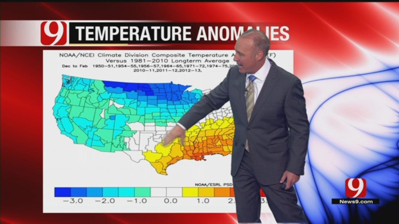
The past 12 winters resembles where we are at now. They were very cold in the northern plains, warm in the Deep South and average or above average for Oklahoma.
As far as precipitation, it was wet to our north and east, really wet in the northwest, and really dry in the southern states, including Oklahoma.
Looking at snowfall in Oklahoma City during those winters, some years were huge while others were not. This type of a winter coming up, we could have some big extremes.
My winter temperatures forecast is below average in the northern states. In Oklahoma to the south and along the gulf coast, I believe it will be average to below average. As for precipitation, it will be above average for the great lakes and Ohio valley, above average for the far northeast and below average for Oklahoma and the southern states.
So that reflects here in my snow forecast. Oklahoma to the south, we think snow average is below normal for Oklahoma. Our winter severity scale from one to nine, nine being Katy bar the door, we will put this upcoming winter at a three.
To summarize everything, we are entering a weak La Niña that's going into effect right now. Winter starts and ends fairly early with below normal precipitation, above normal temperatures and below normal snowfall.
We'll be tracking it.
More Like This
November 16th, 2017
March 14th, 2018
November 17th, 2016
Top Headlines
July 26th, 2024
July 26th, 2024
July 26th, 2024
July 26th, 2024


