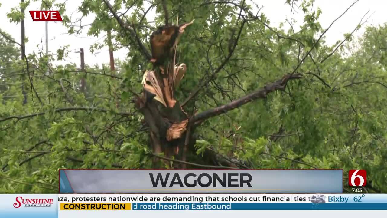
Northern Oklahoma Sees Potential For Severe Weather
Any storm today will be capable of large hail, damaging winds and tornadoes.Friday, April 29th 2022, 11:45 pm


OKLAHOMA CITY -
UPDATE 11:45 p.m. | A Severe Thunderstorm Warning has been issued for Garfield, Kay, Logan, Noble and Payne counties until 12:30 a.m.
UPDATE 11:00 p.m. | A Severe Thunderstorm Warning has been issued for Garfield, Kay and Noble counties until 11:45 p.m.
UPDATE 10:25 p.m. | A Severe Thunderstorm Warning has been issued for Kay County until 11:00 p.m.
UPDATE 5:00 p.m. | A Tornado Watch has been issued for Caddo, Canadian, Cleveland, Comanche, Garfield, Garvin, Grady, Kay, Kingfisher, Lincoln, Logan, McClain, Noble, Okfuskee, Oklahoma, Payne, Pottawatomie, Seminole, Stephens and Tillman counties until 12:00 a.m.

On the east side of the dryline we will be warm, humid, windy and will have high instability.
This means if a storm can develop, it will grow very rapidly and would quickly become severe.
Any storm today will be capable of large hail, damaging winds and tornadoes.
However, the chances for any storm today will be 20%.
On Friday night, as the cold front swings in, rain and storm chances will be higher.
These storms between midnight and 5 a.m. could also be severe with hail up to golf ball size, winds up to 65 mph and a very low tornado threat.

Get The Daily Update!
Be among the first to get breaking news, weather, and general news updates from News 9 delivered right to your inbox!
More Like This

April 29th, 2022

April 21st, 2024

April 21st, 2024

April 18th, 2024
Top Headlines

April 28th, 2024

April 28th, 2024
April 28th, 2024

April 28th, 2024
