Increasing Heat, Humidity Returns Soon To Northeastern Oklahoma
Our focus continues to be the mid-level ridge of high pressure that develops to our west over the next few days as it expands eastward.Tuesday, July 7th 2020, 7:13 am
TULSA, Okla. -
Our focus continues to be the mid-level ridge of high pressure that develops to our west over the next few days as it expands eastward.
Regardless of the exact data set, this ridge is a very strong and robust summerlike feature that will bring hot weather across the southwestern U.S. and into most of the southern plains. But the exact strength of the ridge and positioning may keep northeastern OK in a favorable window for a few storm systems for the end of the week and possibly this weekend.

This upper air pattern (Northwest flow) will be very close to northeastern OK beginning Thursday into Friday. The difference in some of the data (GFS vs. EURO) would be the difference between hot and humid weather with no storms compared to hot and humid weather with a late night and early morning storm complex rolling across the area.

Locations to the west of the metro, more so along I-35 into western OK should experience hot and dry weather resulting in the hottest stretch of summer weather to date, with numerous locations reaching triple digits. At this point, I’m keeping the metro temps into the upper 90s, yet the heat index values will range from 105 to at 110 Thursday through the weekend.These values would support heat advisories for northeastern OK and southeastern Kansas. Before the ridge becomes our main item of interest, we continue to watch for a few pop-up storms later this afternoon near or south of the metro.

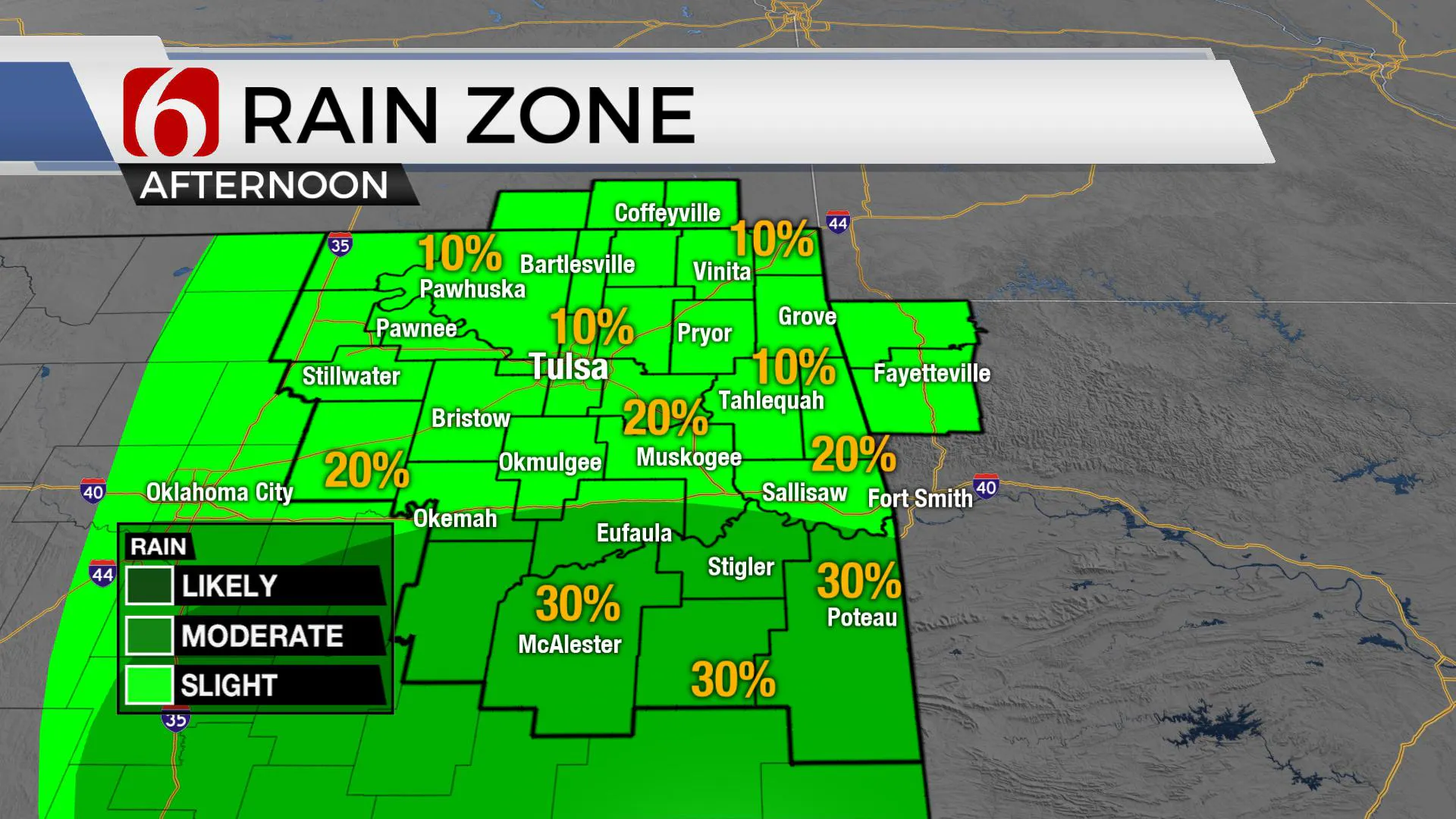
A weak disturbance is still located across north TX this morning but will slowly move away from the area by later today and Wednesday. These features combined with daytime heating should allow a few additional pop-up type storms this afternoon before diminishing with the loss of daytime heating.
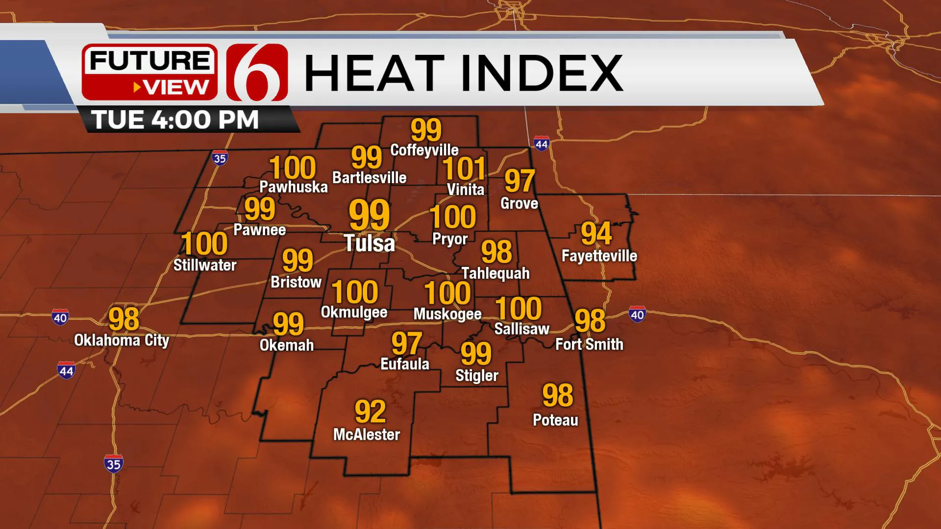
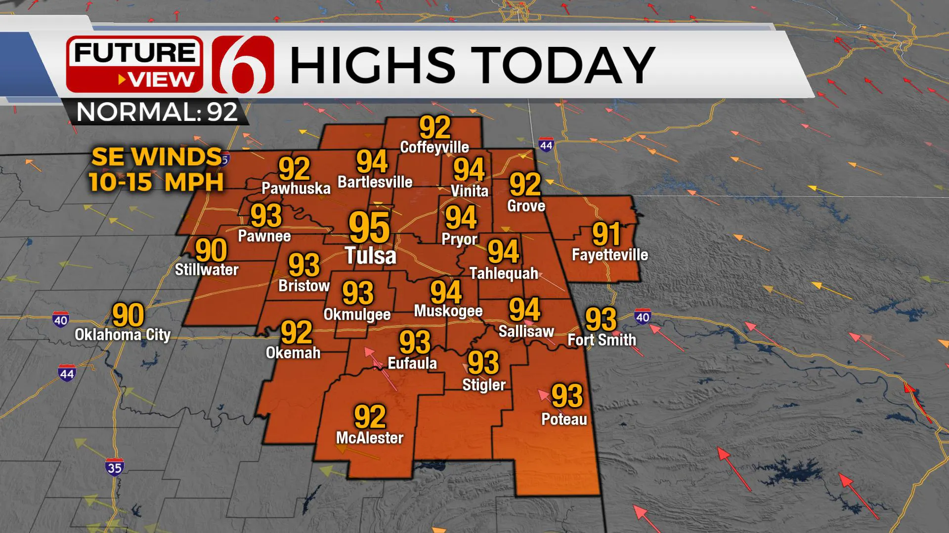
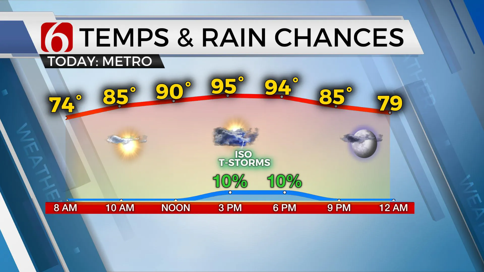
The coverage today should be smaller than yesterday, but a few storms will remain across eastern OK.Highs this afternoon will reach the lower to mid-90s with heat index values near 100. Remember, any afternoon or early evening storm could produce heavy rainfall along with gusty winds and cloud to ground lightning. Respect the lightning if storms approach your area.These storms also typically produce numerous outlaw boundaries that can act to trigger additional storms while additionally proving some locally cooler air during the late afternoon hours. The chance for storm activity today is lower compared to yesterday.

The tropics have been active the past few days, but with no major impacts across U.S. interests. A named tropical storm (Edouard) has already weekend to post tropical across the northern Atlantic. At least two additional waves may develop into a system over the next 5 to 10 days. A few systems may also develop out of the Pacific basin, including one that may reach hurricane status soon.
More Like This
April 25th, 2024
Top Headlines
April 25th, 2024
April 25th, 2024
April 25th, 2024


