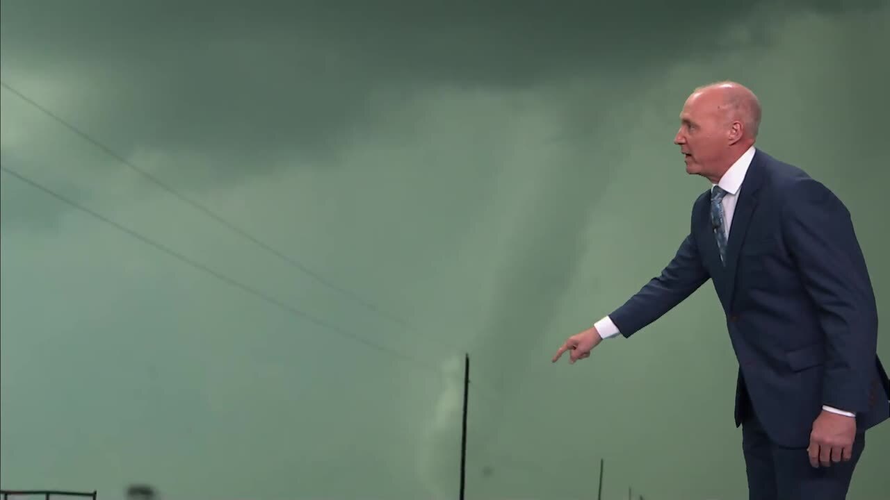
Severe weather in the Sooner state
A strong low pressure system is moving through the Southern Plains late Monday and Tuesday, bringing strong to severe thunderstorms and the risk of flooding to Oklahoma.Monday, March 17th 2008, 9:19 am
NEWS 9 Weather Team
A strong low pressure system is moving through the Southern Plains late Monday and Tuesday, bringing strong to severe thunderstorms and the risk of flooding to Oklahoma. Severe thunderstorms are ongoing late Monday night, and activity is expected to continue through the overnight hours.
A severe thunderstorm watch is in effect until 2 a.m. for south-central Oklahoma up to the Metro area. A tornado watch is in effect until 6 a.m. for southeast Oklahoma.
Overnight, thunderstorms will continue to move rapidly to the northeast through the state. Expect torrential rainfall, hail, gusty winds, and frequent lightning with these storms. Rain chances remain high for Oklahoma City through Tuesday morning. Rain will gradually end from the west to the east Tuesday. Some showers may affect south-central Oklahoma Wednesday morning.
Flooding risk continues for parts of Oklahoma through Tuesday night, as some areas will receive heavy rainfall multiple times. Flood watches and warnings stretch from south Texas northeast into the upper Midwest.
Stay with News9 and News9.com, we'll keep you advised of any severe threats with these storms.
Stay with NEWS 9 and News9.com, we'll keep you advised of any severe threats with these storms.
More Like This
March 17th, 2008
March 22nd, 2024
March 14th, 2024
February 9th, 2024


