David Payne's Winter Weather Forecast
Alright everybody, it's that time of year for my winter weather forecast. We have been pouring over the data and there are some exciting things coming up for sure. I tell you what, this year it's been fairly crazy across Oklahoma, right? We've been talkinThursday, October 24th 2019, 11:24 pm
Alright everybody, it's that time of year for my winter weather forecast. We have been pouring over the data and there are some exciting things coming up for sure.
I tell you what, this year it's been fairly crazy across Oklahoma, right? We've been talking about record tornadoes in the month of May and so far, we're in second place for the most tornadoes for the year. How about that?
Record rainfall in spring. You all remember how wet it was with all of the flooding. Thirteen months in a row where temperatures in Oklahoma have been below average, and just this week alone, spring weather into winter weather for Oklahoma.
It has been crazy for sure.
Alright everybody from the Bob Mills Weather Center, you know what, we have been working very hard the last several months, putting together all of the pieces to the puzzle that's going to eventually be our winter forecast.
And guess what? It is here.
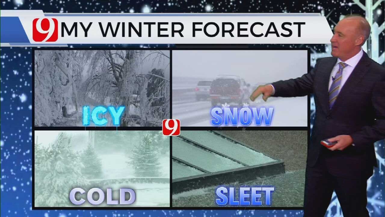
It's that time of year. Winter is knocking on our door. We're talking about icy weather, snowy weather, sleet and oh yeah, we have plenty of cold coming our way.
Last year in Oklahoma City, 5.8 inches of snow. That's what fell in the metro. Some places a little more and some places a little less. On average, we pick up about 7.6 inches of snow.
Keys to the forecast:
El Nino is a weak and El Nino is trying to develop over the Pacific Ocean and the waters in the Pacific are very warm.
Snow cover in northern Oklahoma continues to increase. The oceans are very warm and early record snow and cold. That's what has been going on to our north.
Look how warm these waters are now in the north Pacific along the equator. Very warm there.
Also, in the north Atlantic. Lots of warm water and again that warm water will play a key role in our weather coming up.
On top of that, look at the snow and ice that's already accumulated from the Rockies up into Canada, and this just keeps that air up there cold and colder. So, when that air comes south, it will be chilly.
So, the more snow on the ground, the colder it will be.
So, this winter's weather pattern looks like this. The jet stream coming out of western Canada, deep into the U.S. The polar vortex will from time to time come south. That will bring in that colder air, arctic outbreaks off and on.
The subtropical jet will be active. That will be another storm track.
My temperature forecast for the winter months looks like this. Slightly above average for most of Oklahoma. The real cold air will be in the Great Lakes and much above average temperatures out west.
My precipitation forecast is above average to our north and to our northeast and to our east. I think we see average precipitation amounts across Oklahoma during the winter and my snowfall forecast, much above average in the Great Lakes, in the Ohio Valley, above average to our north and northwest.
We'll say average snowfall for Oklahoma.
So, to sum it up, average to slightly below average on the temperatures, average precipitation, average snowfall, we're going to have that arctic air off and on.
We will be talking a lot about the polar vortex coming south. We're going to have some winter weather early on, and then we might get a mid-winter break, and then more winter weather closing out the second half.
Here we go.
No matter what happens, the trackers are ready and as always, the News 9 Weather Team, we are ready as well.
More Like This
October 24th, 2019
March 22nd, 2024
March 14th, 2024
February 9th, 2024
Top Headlines
May 9th, 2024
May 9th, 2024


