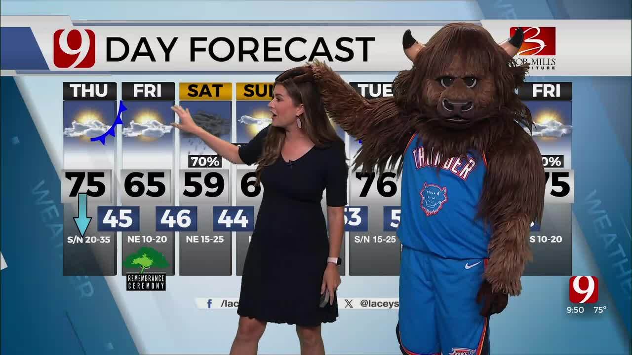
Chance For Severe Storms Returns For Northern Oklahoma
Tuesday evening, expect additional severe storms to develop. These will be heavy wind producers! Storms could have up to tennis ball-sized hail, winds 70 to 80 mph at times, and there will be a low tornado threat.Tuesday, June 27th 2023, 10:31 pm


OKLAHOMA CITY -
Tuesday afternoon will be dangerously hot! Highs will climb into the upper 90s and low 100s, but the gulf moisture will make it feel so much hotter!
Dewpoints will be in the 70s, and heat index values will soar from 105 to 112 across the state.
Tuesday evening, expect additional severe storms to develop. These will be heavy wind producers! Storms could have up to tennis ball-sized hail, winds 70 to 80 mph at times, and there will be a low tornado threat.
Damaging winds could lead to widespread power outages up north. Dangerous heat again on Wednesday and we will close in on record highs.
For the most recent forecast, click here.
For the NestGen live radar, click here.
Weather Alerts:
9 p.m.: Severe Thunderstorm Warning for Ellis, Harper, Woods and Woodward County until 9:45 p.m.
8:15 p.m.: Severe Thunderstorm Watch for Alfalfa, Blaine, Dewey, Ellis, Garfield, Harper, Kay, Kingfisher, Logan, Major, Noble, Payne, Woods and Woodward County until 2:00 a.m.
9:40 p.m.: Severe Thunderstorm Warning for Harper, Woods, and Woodward County until 10:30 p.m.
10:15 p.m.: Severe Thunderstorm Warning for Alfalfa and Garfield County until 11:15 p.m.

Get The Daily Update!
Be among the first to get breaking news, weather, and general news updates from News 9 delivered right to your inbox!
More Like This

June 27th, 2023

April 21st, 2024

April 21st, 2024
April 18th, 2024
Top Headlines

May 12th, 2024

May 12th, 2024

May 12th, 2024

May 12th, 2024
