Sleet, Freezing Rain Make Oklahoma Roads A Mess
<p>Dry conditions overnight continue into early Wednesday. The morning should be calm but cold! </p>Wednesday, February 21st 2018, 7:20 am

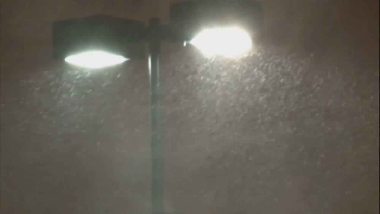
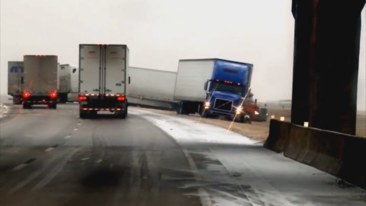
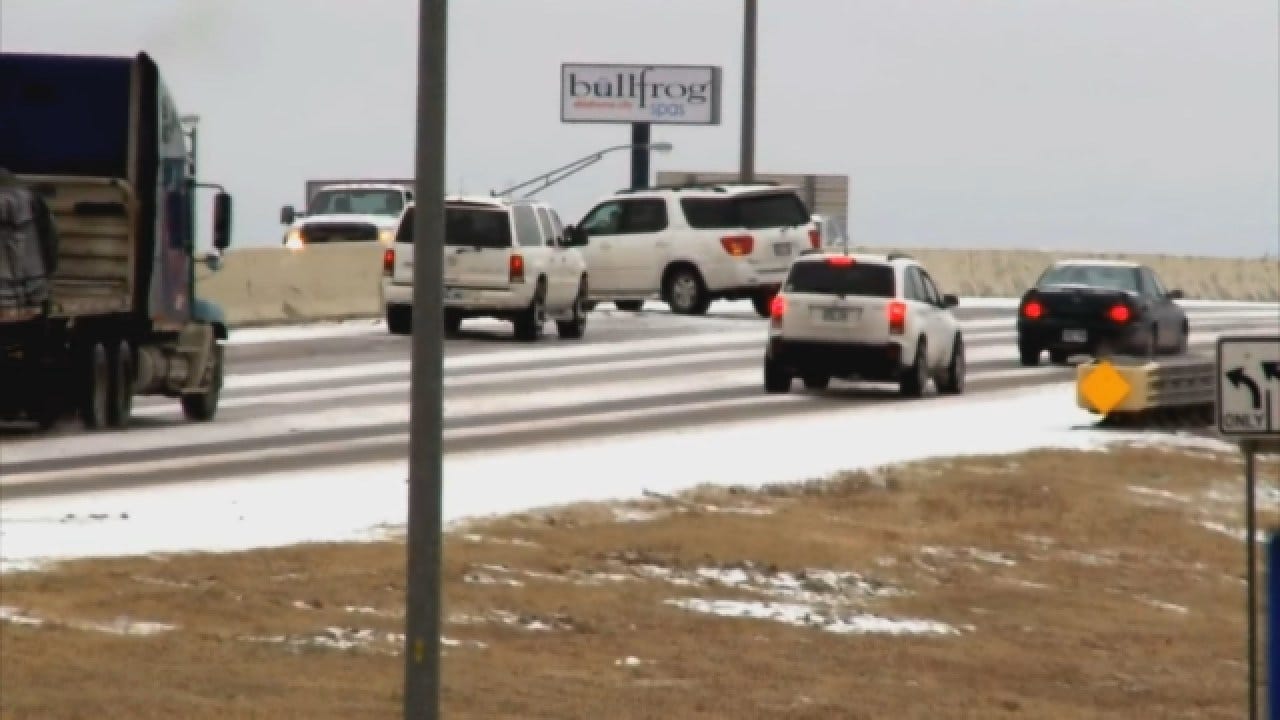
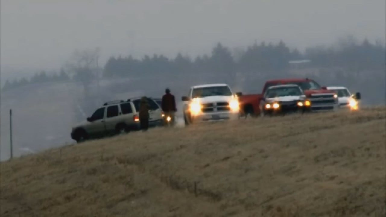
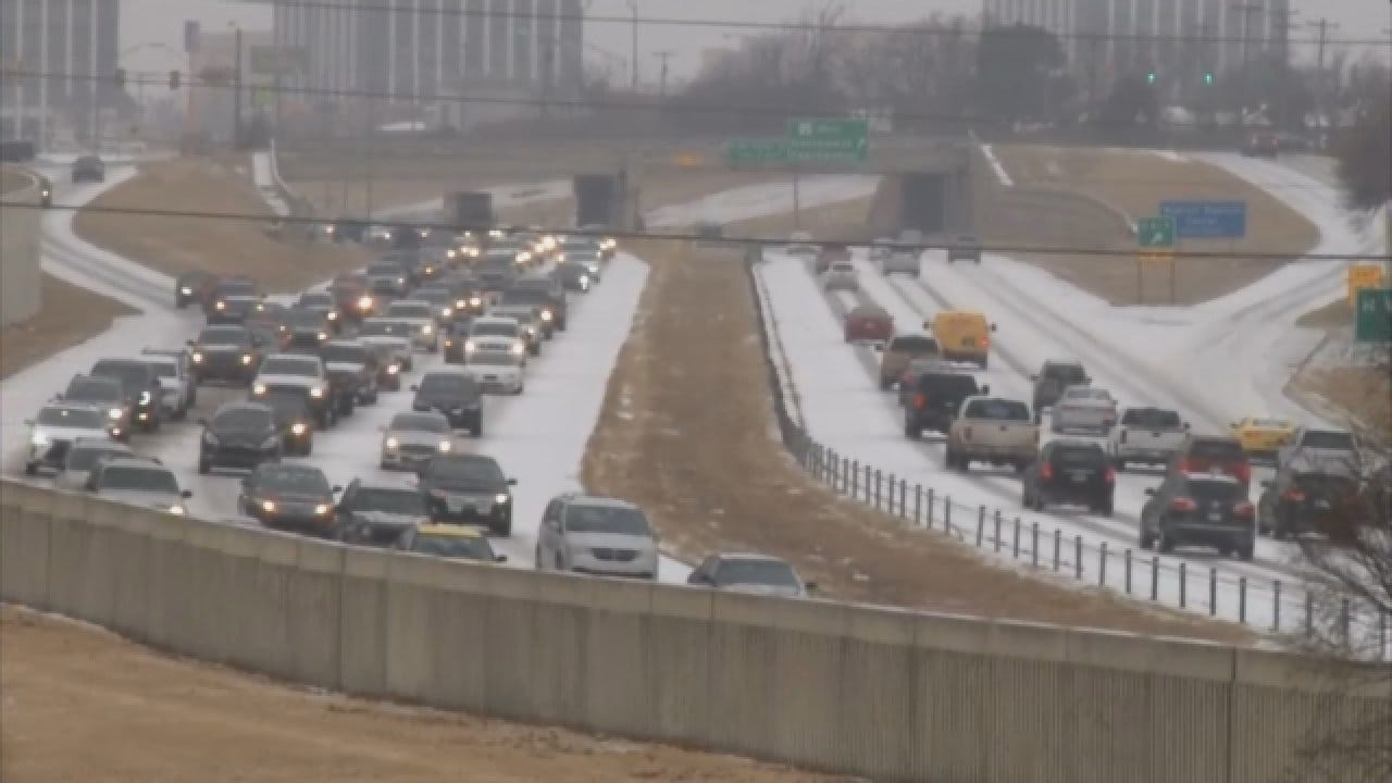

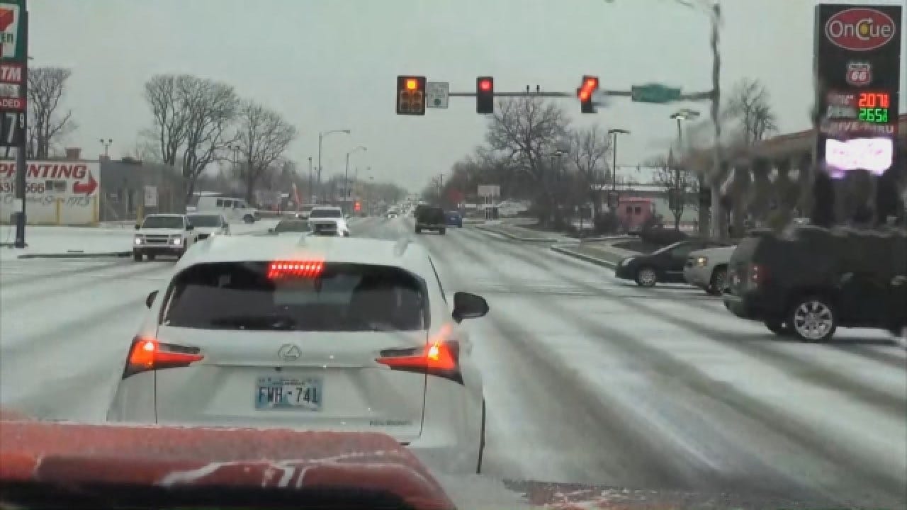
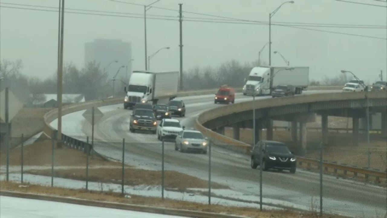
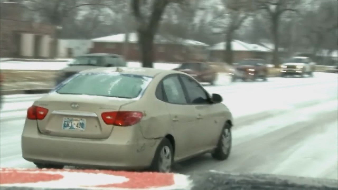
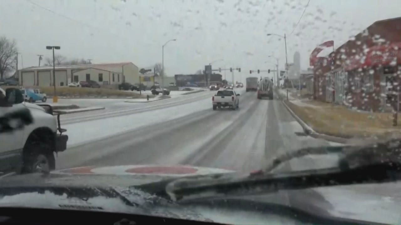
Sleet continues to move southwest to northeast across Oklahoma, causing wrecks across the metro area and prompting major school districts to close. Wednesday was the second day of wintry precipitation across the Sooner State.
Roads are getting worse across southern and central Oklahoma, and that deterioration is moving into northern Oklahoma.
See also: Current Conditions & 9-Day Forecast
Between 6 and 10 p.m., there will be more light ice and sleet. Slush will turn to ice. Another wave of ice will move through the viewing area Thursday morning.
Temperatures are in the 20s across the state, but it's a bit milder in southeastern Oklahoma While highs Thursday will get up into the 30s, a wintry mix is still likely across the state throughout the day.
Links: ESP Radar | Street-level Radar
There is some good news in the 9-day forecast. Highs get up to 48 on Friday and into the 60s over the weekend. Chances for rain continue across the Sooner State for the next several days.
Take a moment and 'like' our meteorologists on Facebook. They provide you with weather information and analysis day and night. This is a really valuable resource during winter storms of all kinds.
David Payne - click here
Cassie Heiter - click here
Jed Castles - click here
Justin Rudicel - click here
Robyn King - click here
Matt Mahler - click here

Get The Daily Update!
Be among the first to get breaking news, weather, and general news updates from News 9 delivered right to your inbox!
More Like This

February 21st, 2018

March 22nd, 2024

March 14th, 2024

February 9th, 2024
Top Headlines

April 28th, 2024

April 28th, 2024

April 28th, 2024

April 28th, 2024
