Storms Move Into Central Oklahoma Overnight With Wind, Hail Threats
<p>Wednesday morning will start with muggy conditions with temperatures starting out in the mid to upper 60s, a few low 70s. </p>Wednesday, May 30th 2018, 6:12 am

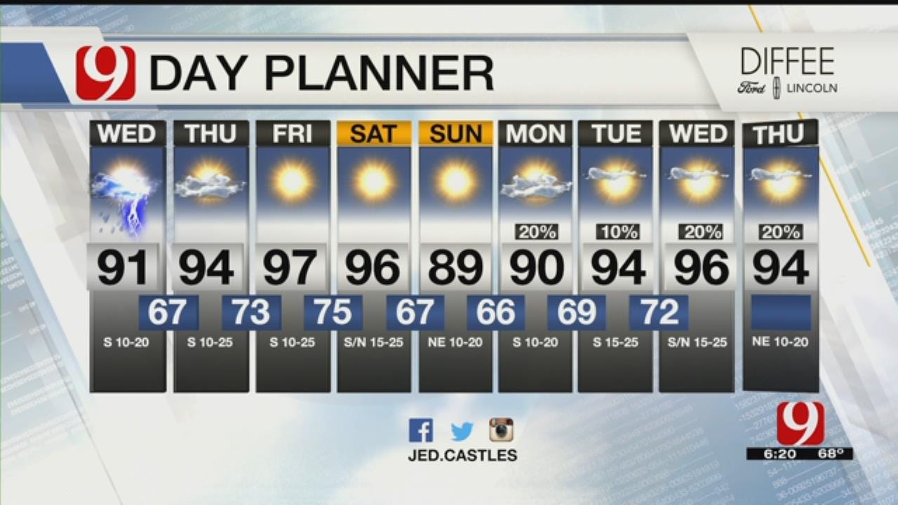
Wednesday morning will start with muggy conditions with temperatures starting out in the mid to upper 60s, a few low 70s.
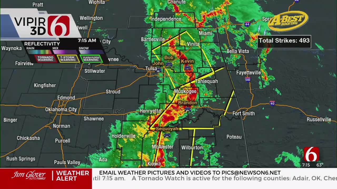
Storms continue to exit and most wake up to dry skies. Wednesday will be dry most of the day in Oklahoma City. By this evening, storms will develop in northwest Oklahoma. Some could be strong to severe with wind gusts up to 65 mph, quarter size hail. The tornado threat will be low.
Wednesday night will see storms move eastward overnight into central Oklahoma, including OKC for storm chances late tonight. Mainly wind and hail are the main threats.
Thursday will be a mainly dry. Now it is all about the heat that builds in! Highs will be in the low to mid 90s across the state. Western Oklahoma will be hotter in the upper 90s.
Friday the heat will remain the same with highs once again are in the low to mid 90s.
This weekend a front will arrive, with temperatures expected to drop from mid 90s Saturday to upper 80s Sunday. So, a little bit of relief on the way.
The first week of June will still be hot. Highs range from low to mid 90s most of the week with a few chances of rain and storms throughout the week. Feels like summer!

Get The Daily Update!
Be among the first to get breaking news, weather, and general news updates from News 9 delivered right to your inbox!
More Like This


March 22nd, 2024

March 14th, 2024

February 9th, 2024
Top Headlines

April 26th, 2024

April 26th, 2024

April 26th, 2024
