10 Inches Of Snow, Hail, Flooding Rain, Tornado Threat For Oklahoma This Weekend
<p>Severe storms and flooding rainfall are looking like a strong possibility across Oklahoma Friday night into Saturday. </p>Friday, April 28th 2017, 9:35 am

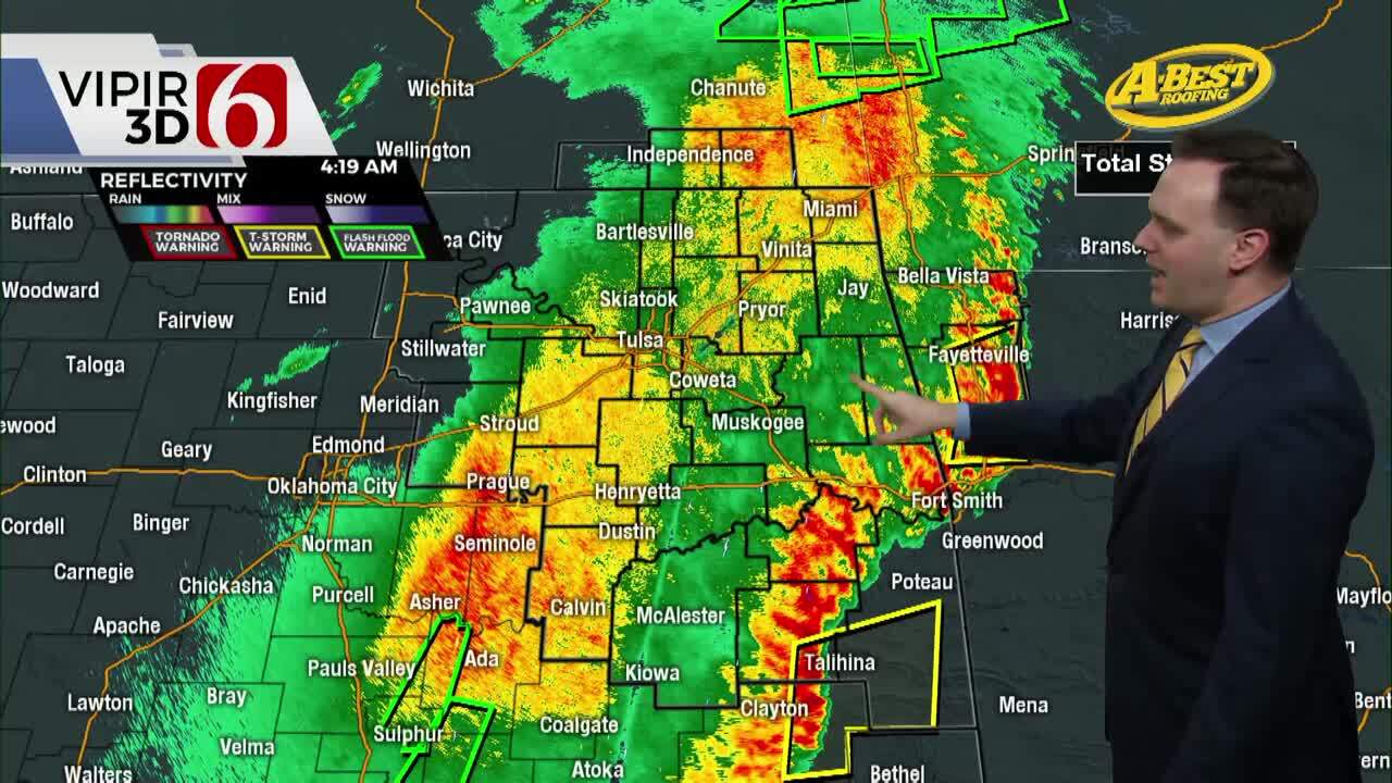
Severe storms and flooding rainfall are looking like a strong possibility across Oklahoma Friday night into Saturday.

A powerful storm system is developing in southern Rockies Friday as a cold front slides into the state. This storm system will be a slow mover and will move over the state on Sunday.

The best chances for severe weather and flooding will be Friday night into Saturday. By Saturday afternoon the center of the storm will be moving over the panhandle and looks to bring snow in that part of the state. Accumulating snowfall expected with 10 inches possible west of Guymon.

For Oklahoma City, rain and storms chances will increase to likely chances after midnight tonight. Severe storms and heavy rain will be possible.

Rainfall totals could also get heavy creating some flooding issues and hydroplaning. Be very careful driving Friday night into Saturday morning. The severe weather and flooding threat will shift into east Oklahoma Saturday afternoon as cooler air moves into the western and central parts of the state.

Rain and some storm chances continue Saturday night. The rain will end on Sunday.

Sunday looks to be windy, occasionally wet and much cooler. Make preparations if you will be running in the OKC Memorial Marathon.


Get The Daily Update!
Be among the first to get breaking news, weather, and general news updates from News 9 delivered right to your inbox!
More Like This


March 22nd, 2024

March 14th, 2024

February 9th, 2024
Top Headlines

April 28th, 2024
April 28th, 2024


April 28th, 2024
