Winter Storm Update: Snow, Ice To Cripple Traffic, Business, Daily Routines
A winter storm will impact all of the I-44 corridor, as well as portions of southern and eastern Oklahoma where a crippling ice storm is more likely.Thursday, December 5th 2013, 1:16 pm


A winter storm will impact all of the I-44 corridor, as well as portions of southern and eastern Oklahoma where a crippling ice storm is more likely. This will greatly affect travel, commerce and your daily routine beginning this afternoon through Friday.
There aren't many changes to the ongoing forecast. The latest data and current observations still indicate a heavy, long, but narrow band of snow developing near/along the I-44 corridor from Lawton, through Oklahoma City, Tulsa, and Miami. There's still plenty of time for this heavier band of snow to fluctuate north or south of where it's depicted on the "Snowfall Amounts" graphic. A fluctuation of only 10 to 20 miles could be the difference between 1 inch and 6 inches of snow. Keeping that in mind, the OKC metro area can expect 3 to 5 inches of snow with the potential for 6-plus inches on the extreme side of model guidance.
Light snow and sleet will be possible through this afternoon with a gradual changeover to all snow by this evening. During this time, slick and hazardous traveling conditions may develop in time for the evening rush. The heaviest snow will spread across the I-44 corridor beginning at 9 p.m. and last overnight into Friday morning. Road conditions will rapidly deteriorate, with school/event/business cancellations becoming more likely for tomorrow (Friday).
12/4/2013 Related Story: Winter Preps For Your Car, Home
A crippling ice storm is already underway across portions of southern and southeastern Oklahoma. Forecast ice accumulations when combined with strong winds could have devastating and prolonged impacts to power grids and utilities. If you are within the Ice Zone (see Ice Zone graphic) you need to be finalizing your preparations in the likelihood of being without power for days and possibly even weeks.
We are still monitoring several factors which could mitigate snowfall amounts. Temperature profiles in the lowest 5,000 feet of the atmosphere will play a crucial part in determining the dominate form of precipitation: sleet vs. snow. Mesoscale (small) snow bands may develop which could greatly increase snowfall rates over just a few miles. These are just a few things to keep in mind.
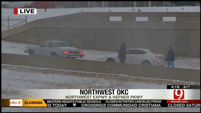
The Oklahoma City Police Department says they will no longer be responding to non-injury accidents for the duration of this storm.
12/4/2013 Related Story: City Crews, Residents Preparing For Wild Round Of Winter Weather

Get The Daily Update!
Be among the first to get breaking news, weather, and general news updates from News 9 delivered right to your inbox!
More Like This

December 5th, 2013

March 22nd, 2024

March 14th, 2024

February 9th, 2024
Top Headlines

April 18th, 2024

April 18th, 2024

April 18th, 2024

