Severe Storms, Threatening Possible Tornadoes Throughout Oklahoma
Strong to severe thunderstorms are expected to impact a large part of Oklahoma this afternoon, evening, and into tonight.Wednesday, April 8th 2015, 1:57 pm


UPDATE: Tornado warning have been dropped for the state of Oklahoma as of 9:45 p.m. Wednesday.
A tornado warning was issued for southern Dewey and northwest Custer Counties at 9:00 p.m., Wednesday night. Residents in Butler were warned to take cover.
A tornado was confirmed in the area of Hammon around 9:40 p.m.
This storm is headed toward Thomas, Watonga and Roman Nose State Park.
Earlier, a tornado warning was issued for northern Dewey, south Major, and southeastern Woodward Counties, Wednesday. Just after 6:45 p.m., the storm weakened and a severe thunderstorm warning was issued. The storm moved east, northeast toward Seiling.
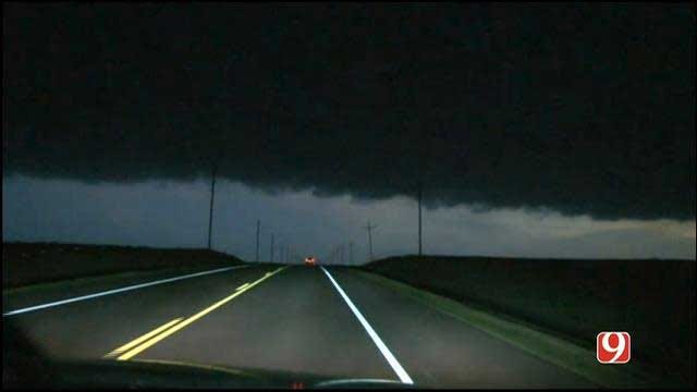
Strong to severe thunderstorms are ongoing in western and northwestern Oklahoma and will continue to be capable of half dollar size hail and wind gusts to 60 mph.
Severe storms capable of producing tornadoes will stay west and northwest of Oklahoma City this evening.
As the storm system moves east, the thunderstorms will move east as well. Oklahoma City will have a threat for thunderstorms well after midnight. These storms could still be strong to severe, but will have a lower tornado threat. Overnight, storms will move east of OKC and out of the area.
We'll be on the air as warranted with updates. Stay with News 9, we'll keep you advised.

Get The Daily Update!
Be among the first to get breaking news, weather, and general news updates from News 9 delivered right to your inbox!
More Like This

March 22nd, 2024

March 14th, 2024

February 9th, 2024
Top Headlines

April 23rd, 2024

April 23rd, 2024

April 23rd, 2024

April 23rd, 2024
