Tornado Watch Issued For Central and Southern Oklahoma
<p>Showers and storms continue to move northeast on Friday. We should see a lull in precipitation early afternoon, even a few breaks in the clouds providing some sunshine.</p>Friday, April 29th 2016, 1:08 pm


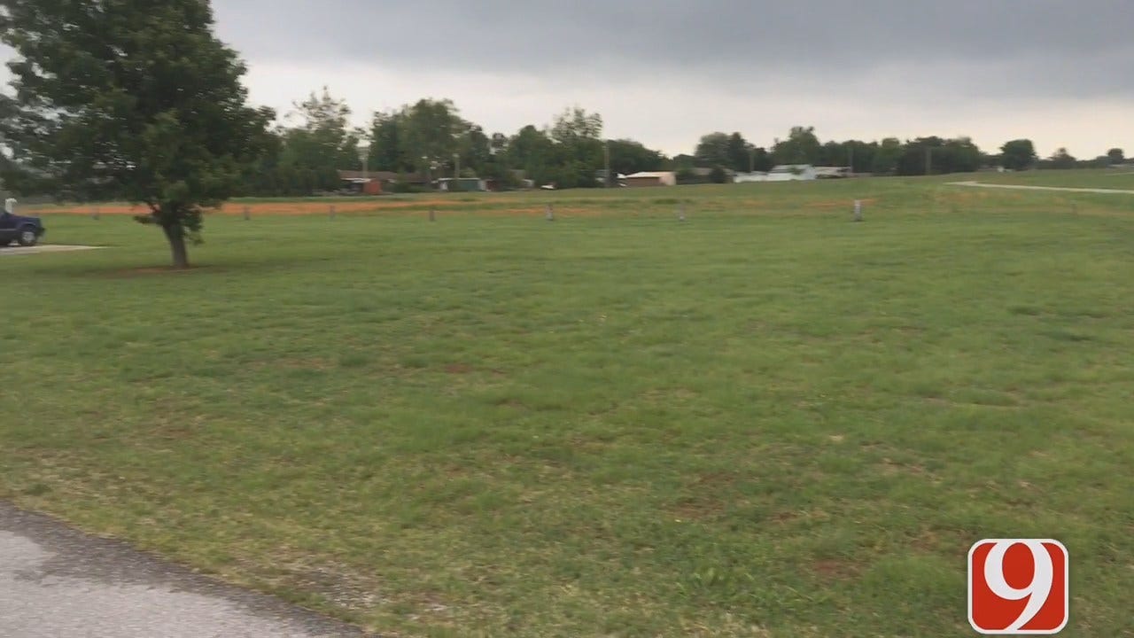
The National Weather Service has issued a Tornado Watch until 10pm for much of southern and central Oklahoma, including the OKC metro area.
29 Counties are included in the watch: Atoka, Bryan, Caddo, Canadian, Carter, Cleveland, Choctaw, Coal, Comanche, Cotton, Garvin, Grady, Hughes Jackson, Jefferson, Johnston, Kiowa, Love, McClain, Marshall, Murray, Oklahoma, Pittsburg, Pontotoc, Pottawatomie, Pushmataha, Seminole, Stephens and Tillman.
Showers and storms continue to move northeast on Friday. We should see a lull in precipitation early afternoon, even a few breaks in the clouds providing some sunshine.
A warm front will lift just to our north late afternoon and into the evening with showers and storms developing along the front. Initially these storms will start in south and southwest Oklahoma between 1 and 3 p.m.
Storms will move north to northeast and should be in the metro between 4 and 6 p.m. These storms will likely become severe with large hail, damaging winds, and tornadoes possible. It will be important to stay weather aware throughout the day.
Storms should be east of I-35 by 8 p.m. Skies clear out overnight into Saturday.
Stay with News 9, we’ll keep you advised!

Get The Daily Update!
Be among the first to get breaking news, weather, and general news updates from News 9 delivered right to your inbox!
More Like This

April 29th, 2016

March 22nd, 2024

March 14th, 2024

February 9th, 2024
Top Headlines

April 19th, 2024

April 19th, 2024

April 19th, 2024

